Search The Query
Image

Exploring the world’s northernmost caves – in pictures

Expedition member Chris Blakeley in the entrance to the northernmost known cave on the Wulff Land Peninsula
Expedition member Chris Blakeley in the entrance to the world’s northernmost known cave, found on the Wulff Land peninsula in Greenland
Robbie Shone

At a gathering of the University of Bristol Spelaeological Society in a pub in 2008, caver Charlie Self handed PhD student Gina Moseley a photograph of a cave in a limestone cliff just beyond the north-western edge of the Greenland ice sheet. Thought to be the northernmost cave in the world, it had been photographed from a US military aircraft in 1958, but never explored.

An aerial view of the cave, first spotted in 1958 from the air, as Chris Blakeley rigs ropes down into it for a 200-metre abseil
Robbie Shone

But Self also gave Moseley a report about calcite flowstone, formed by trickling water, that was found in a cave in north-eastern Greenland. Today, groundwater there is frozen in permafrost, so this flowstone must have come from a warmer, wetter time. A sample could provide a climate record exceeding the 130,000 years captured in Greenland ice cores, Moseley thought.

Starting in 2015, Moseley and her partner, photographer Robbie Shone, mounted four expeditions to Greenland, finally reaching that northernmost known cave, pictured above. While they didn’t find any flowstone there, they did obtain some from caves in north-eastern Greenland that showed the ground there hadn’t frozen – and vegetation had even grown – during three periods between 5 million and 10 million years ago.

A large sample of flowstone, found by the expedition team
Robbie Shone

It was a snapshot of a past world, but also a warning about how drastically global warming could alter Greenland in the future.

“This occurred in a world with CO2 levels that we already surpassed several decades ago,” says Moseley.

In the top image, expedition member Chris Blakeley stands in the entrance of the northernmost known cave, found on the Wulff Land peninsula, after rappelling down. Below, Blakeley explores a cave in north-eastern Greenland named Crystal Palace for the hoarfrost on its ceiling.

Chris Blakeley inside the Crystal Palace cave in Greenland, where huge ice crystals cover the ceiling and walls
Robbie Shone

Below, Blakeley sits in Keyhole cave, named for the shape of its entrance, where the team collected two flowstone samples.

Chris Blakeley in the remote Keystone cave in Greenland, named by the team for its unusually shaped entrance
Robbie Shone

Shone calls the caves “time machines” that may be some of the last unexplored places on Earth, as there are no current Inuit settlements in north-eastern Greenland. But the team nonetheless witnessed the effects of human-made climate change there, including summer temperatures of 16°C.

“By early evening, after a full day of sunshine on the ice cap, the rivers were huge, they were bursting and they were brown,” says Shone. “You could physically see how much water had melted on the ice cap.”

Below, the team explores another cave in the area, after a 6-metre vertical climb to get into it. A huge coating of blue ice was found on the cave’s back wall.

Expedition member Mark Wright admires the blue ice sheet on another cave’s wall
Robbie Shone

In the final image, below, Blakeley and researcher Gabriella Koltai scramble to board a helicopter hovering near a cave in the Wulff Land peninsula before a storm arrives. The team named the cave R66 after the model of helicopter that rushed them out of there.

The team near a cave in the Wulff Land peninsula that they named R66, after the model of helicopter in this shot
Robbie Shone

Releated Posts

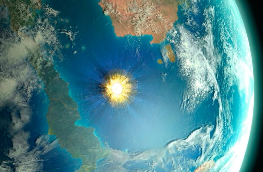
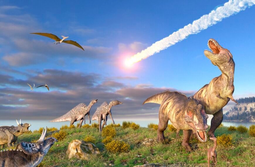
Asteroid strike caused global firestorm that incinerated the dinosaurs

The Chicxulub asteroid brought the age of the dinosaurs to an end ROGER HARRIS/SCIENCE PHOTO LIBRARY The asteroid…

ByBySDToday Jul 28, 2026

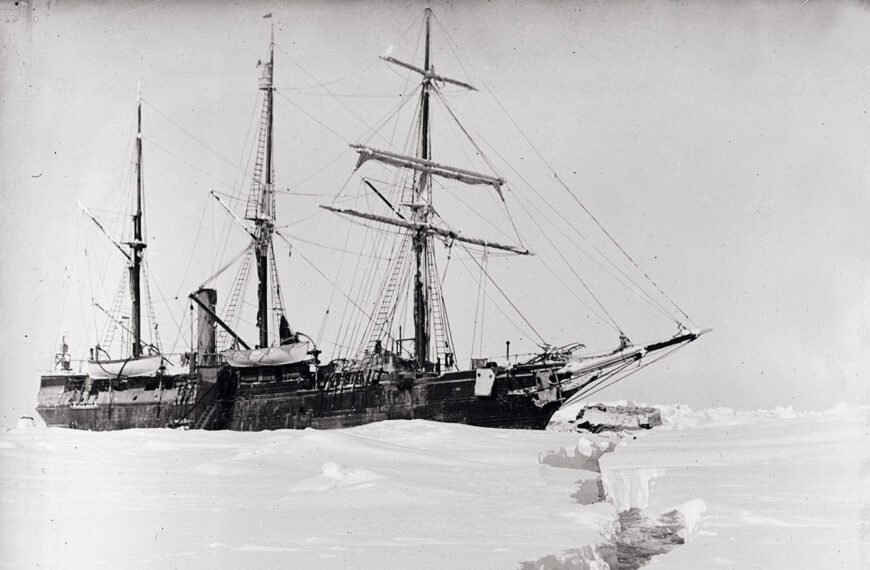
Negatives saved from Shackleton’s Antarctic trip reveal hidden details

The ice floe cracks up around the Endurance Royal Geographical Society After the British ship Endurance (pictured above)…

ByBySDToday Jul 15, 2026

A volcano has erupted remnants of Earth’s primordial magma ocean

Earth was once covered by a global magma ocean, which later cooled and crystallised – now traces of…

ByBySDToday Jul 3, 2026

A volcano has erupted remnants of Earth’s primordial magma ocean

Earth was once covered by a global magma ocean, which later cooled and crystallised – now traces of…

ByBySDToday Jul 3, 2026

Huge crater in Australia may be the oldest impact structure on Earth

A study claims that the North Pole Dome crater in Western Australia was caused by an asteroid strike…

ByBySDToday Jun 23, 2026

Huge crater in Australia may be the oldest impact structure on Earth

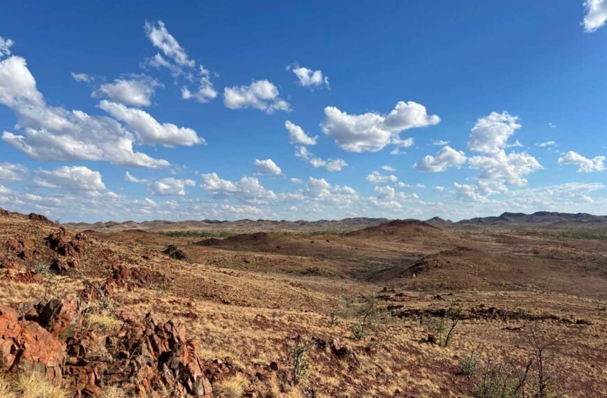
The landscape in the North Pole Dome crater in Western Australia Curtin University A huge crater in Western…

ByBySDToday Jun 23, 2026

Almost the whole of Japan moved eastward after 2011 earthquake

An extremely unusual tectonic movement took place 15 minutes after the Tohoku earthquake in 2011, causing almost the…

ByBySDToday Jun 18, 2026

Almost the whole of Japan moved eastward after 2011 earthquake

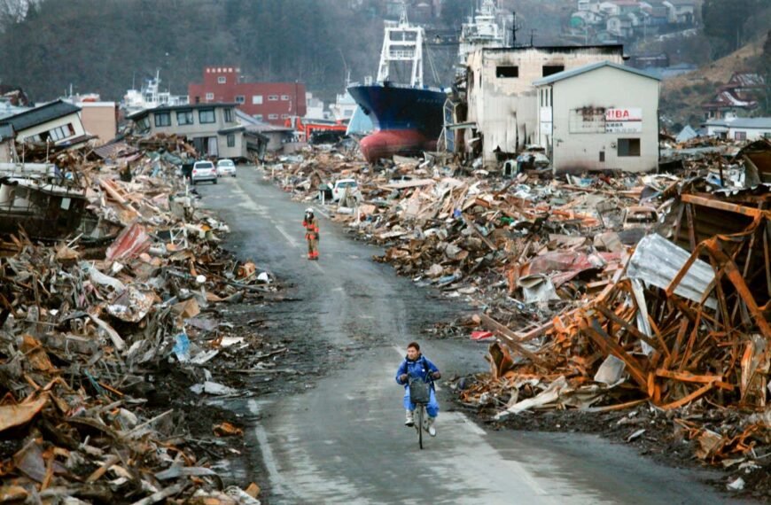
The fishing port of Kesennuma, Japan, in the aftermath of the Tohoku earthquake in 2011 Carolyn Cole/Los Angeles…

ByBySDToday Jun 18, 2026

What lies beneath? The new era of Earth imaging

For decades, geoscientists looked beneath the Earth’s surface as if peering through frosted glass. Today, a revolution in…

ByBySDToday Jun 18, 2026

Leave a Reply

Your email address will not be published. Required fields are marked *